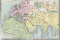
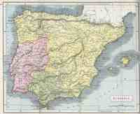
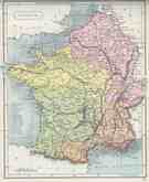
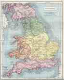
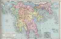
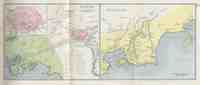
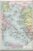
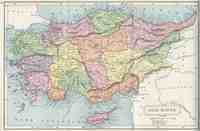
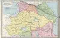
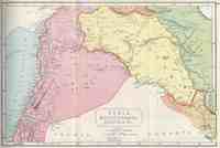
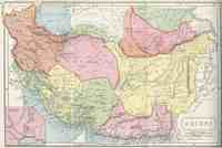
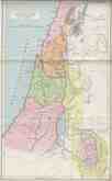
Atlas of Ancient and Classical Geography
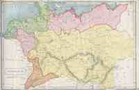
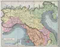
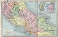
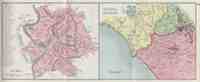
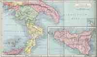
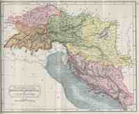
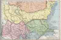
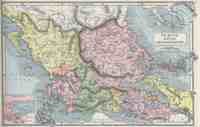
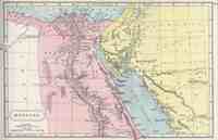
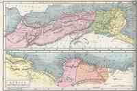
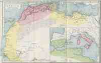
These maps are from the 1908 edition of Samuel Butler’s Atlas of Ancient and Classical Geography.[1] Most maps depict regions of Europe, Africa, and the Middle East during the late Roman Empire.
When you click on a map, the full image is downloaded and displayed in a new window. For those with bandwidth concerns, image sizes fall in the 1.1 - 2.4 MB range.
The referenced edition of this atlas is in the public domain, as are the specific images that are served.
-
Samuel Butler, Atlas of Ancient and Classical Geography, London, J. M. Dent and Company, New York, E. P. Dutton and Company, 1908. ↩